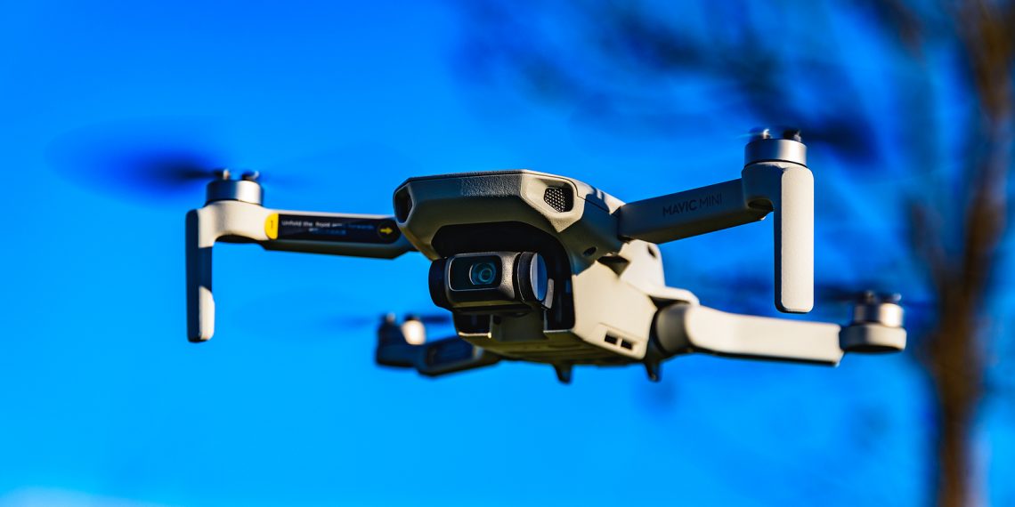
Drones are more affordable and accessible than ever. They’re popular not only with consumers, but with businesses and professionals as well. Some say drones will revolutionize the architectural profession. That may be an ambitious prediction, but architects are certainly adding this tool to their arsenal.
Of course, there are legal concerns to consider, but these are generally easy to address.
Table of Contents
Drone Builders
In 2012, architecture firm Gramazio Kohler Architects and roboticist Raffaello D’Andrea partnered with ETH Zurich to program drones to lift and stack polystyrene bricks.
Federico Augugliaro worked with Gramazio Kohler Research and contributors at the Institute for Dynamic Systems used two quadrocopters to build a rope bridge that was capable of supporting the weight of a human.
These two projects demonstrate the impressive potential of drones in the construction field. But how are architects using drones today in their workflow?
Surveying, Monitoring, Marketing and Site Data
Today’s drones are outfitted with high-definition cameras, sophisticated sensors and infrared scanners. All of these technologies can work together to gather important data for projects, even when they’re only in the design stage.
Improvements in battery life and other features makes drones a very practical tool in the architectural field.
Drones can be used to:
- Survey sites
- Photograph completed buildings
- Inspect construction quality
During the construction phase, drones can reduce on-site risk by performing building inspections. Footage from the drones can also be used as evidence if legal concerns arise during the course of a project.
Drones eliminate the need to put staff and resources in a position of risk. It’s now possible to shoot drone video footage at 4K or HD, take 16MP photos and achieve extreme accuracy from photogrammetry data.
Many architects use satellite imagery for site planning, but these visuals are often low resolution and the data is less accurate. The data collected by drones can completely eliminate the need for land surveyors to create topographic surveys. Architects can use drone data to build accurate 3D models of the terrain and the site. This information can then be imported into drafting and modeling software.
Rules and Regulations
Drone use by architects is still part of a grey area of the law. The Federal Aviation Authority (FAA) has developed regulations that make it easy for commercial and consumer sectors to make use of drones.
The aim is to ensure that people are flying drones responsibly and legally. According to the FAA, there are more than 100 drone incidents reported each month. The last thing any architectural firm wants is to injure people or damage property while using drones.
Firms can apply for permits on a case-by-case basis.
Because the regulatory framework is still lacking, architecture firms can use drones primarily for monitoring sites, gathering site data and creating marketing materials. Drones can’t be flown after dark, out of the operator’s line of sight, near other structures or crowds, or above certain altitudes. These restrictions limit the use of drones for architects for anything other than information gathering, monitoring and marketing.

